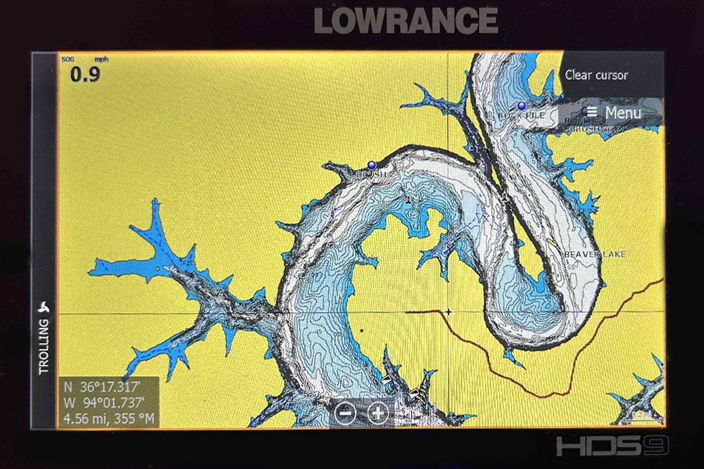
Contour lines and shading are available with most fishfinders purchased today. (Photo by Brad Wiegmann)
Does Your Fishfinder Have GPS?
by Brad Wiegmann
These days the answer to that question is usually, “Yes.” But it is often overlooked when purchasing a new fishfinder. There are several satellite-based navigation systems currently available. Which one depends on the manufacture and model of your fishfinder.
Let’s start at the beginning. Global Positioning System (GPS) was initially started in 1973 as a joint civilian and military technical program. GPS superseded a growing number of navigational aid products. The race to produce satellite navigation was on and resulted in several systems that are commonly used in marine electronics mapping or charting.
Currently the government-based GPS system consists of 31 operational satellites flying in orbit circling the earth twice a day. Fishfinders GPS systems rely on the transmitting signals from these satellites to basically triangulate your specific location.
There are several satellite-based augmentation systems. Depending on the Garmin, Lowrance, Humminbird or Raymarine fishfinder you purchase it could have one or a combination of the following systems WAAS (Wide Area Augmentation System) that’s available in America, EGNOS (European Geostationary Navigation Overlay System which is the European equivalent to WAAS, GLONASS (Globalnaya Navigatsionnay Sputnikovaya Sistema) Russian satellite navigation system, GALILEO (European Union satellite system) and MSAM (Multi-functional Satellite Augmentation System based out of Asia and particularly in Japan.

Which satellite system is the best for using in America?
No one satellite system is better than a combination of two or more. For example, on select Garmin fishfinders, you have the choice of using just GPS, but it can be changed to GPS plus GLONASS, which allows the unit to acquire satellites up to 20 percent faster than just using GPS. GLONASS is typically more accurate in mountainous areas making it more accurate.
Here’s where it gets a little tricky. Internal GPS receivers only provide your location and it won’t show it on a map. A fishfinder’s chartplotter is what takes the GPS location and has the ability to place it on to the mapping imaging that’s built in the unit or can show it on a separately purchased mapping SD card.
By using a chartplotter’s available GPS data with the fishfinders electronic navigational chart the unit can display the position, the boats heading and speed on the mapping image.
Ever have the mapping image show your boat up on land? No cartography is perfect and there are also changes happening especially on rivers. Updating your mapping card will help with this issue, but the accuracy of your position is depending on signals being received from satellites.
Sources of GPS positional error can be atmospheric interference, signal blockage and receiver design or quality can make for poor reception conditions. Signal blockage is common when fishing under bridges, tree foliage or having the fishfinder under any kind of covering.
To improve heading and position anglers can add a separate antenna module. For example, Garmin has an External GPS Antenna, Lowrance the Point One and Humminbird AS GPS HS that can all improve accuracy within 2.5 meters.
So, when planning to purchase a new unit, these options might be an additional variable to consider before making your final decision.
From Springdale, Arkansas, Brad Wiegmann is a professional photographer, videographer and outdoor writer published in dozens of print and electronic media outlets all across the nation. Every month Wiegmann will be providing CrappieNOW readers with the latest and greatest information on the ever-changing world of fishing electronics. He is also a well-known guide, podcaster and social media influencer. Learn more about Wiegmann and his lengthy experience and expertise at BradWiegmann.com.